
Koh Lanta is long and thin: about 25 km from north to south, with one main road along the west coast and quieter roads inland and on the east side. Looking at a Koh Lanta map before you book is the easiest way to choose a beach, because each area has a different feel — busier in the north near Saladan, quieter and wilder as you go south.
Below you will find an interactive map, a north-to-south guide to every main beach with approximate distances from Saladan, and links to our detailed beach and hotel guides.
Koh Lanta is two islands: Koh Lanta Noi (north, mostly rural) and Koh Lanta Yai (south, where almost all hotels are). On a Koh Lanta map, the west-coast beaches run north to south: Klong Dao, Long Beach (Phra Ae), Klong Khong, Klong Nin, Kantiang Bay and Bamboo Bay, ending at the national park. Saladan pier is in the north; Old Town is on the east coast.
- Main village and pier
- Saladan (north)
- Liveliest beaches
- Klong Dao, Long Beach
- Quietest beaches
- Kantiang, Bamboo Bay
- East coast
- Old Town, mangroves
- South tip
- Mu Ko Lanta National Park
Koh Lanta Noi and Koh Lanta Yai
Every Koh Lanta map shows two islands, joined by the road crossing. Koh Lanta Noi, the northern one, is closest to the mainland; the road from Krabi crosses it and reaches Koh Lanta Yai, the larger southern island, where the beaches, resorts and restaurants are. When people say “Koh Lanta”, they almost always mean Koh Lanta Yai.

Koh Lanta map: beaches from north to south
| Beach | Approx. distance from Saladan | Feel |
|---|---|---|
| Klong Dao | 2–3 km | Long, family-friendly, many resorts |
| Long Beach (Phra Ae) | About 5 km | Lively, backpacker bars, long sand |
| Klong Khong | About 9 km | Rocky in places, beach bars, sunsets |
| Klong Nin | About 14 km | Relaxed, good restaurants |
| Kantiang Bay | About 20 km | Scenic bay, quieter |
| Bamboo Bay (Ao Mai Pai) | About 25 km | Secluded, near the national park |
Distances in this Koh Lanta map table are approximate road distances from Saladan and are meant for planning. Read our Koh Lanta beaches guide for detail on each one.

Saladan and the north
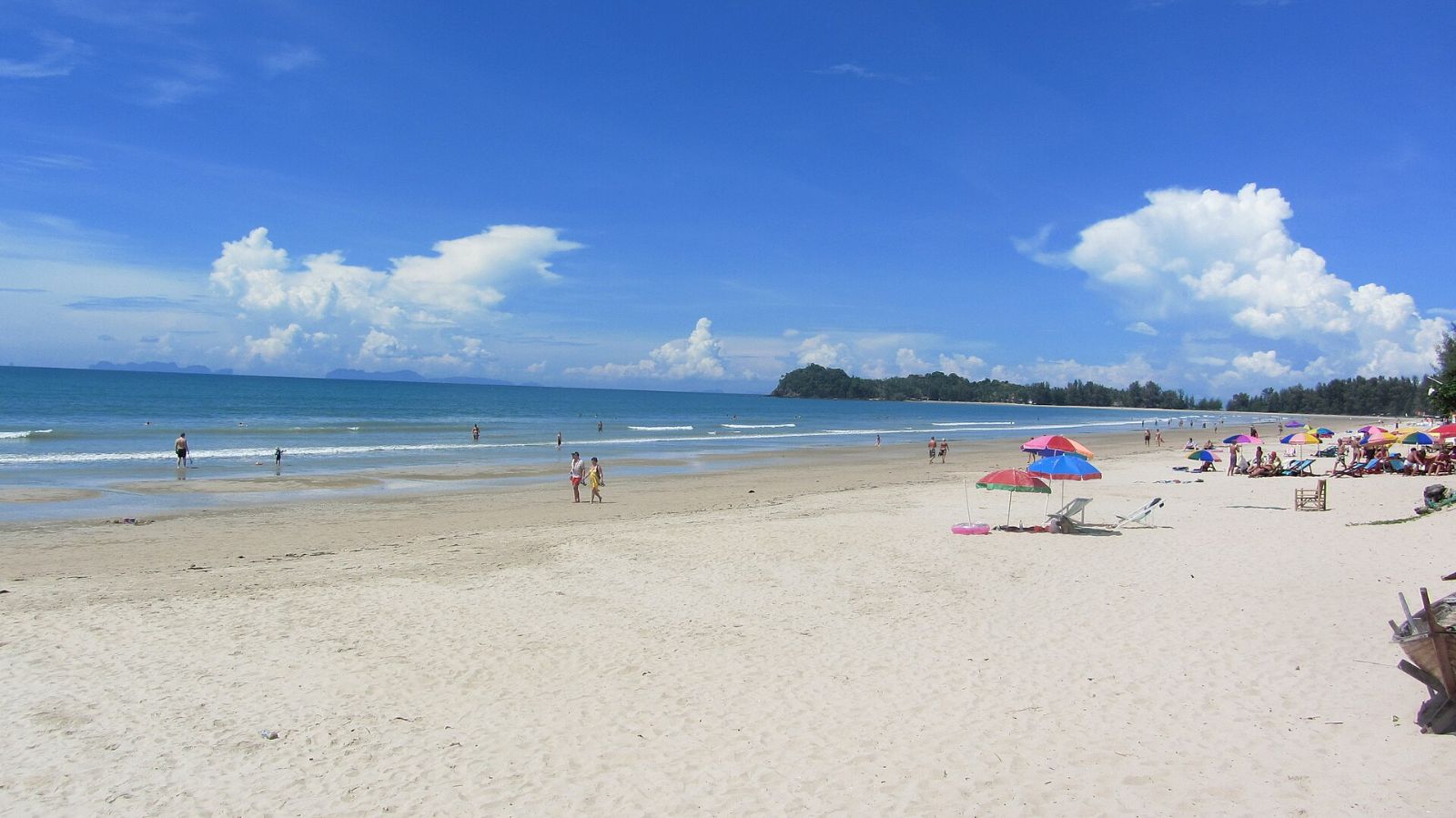
Saladan is the main village, with the passenger pier, shops, ATMs, banks and many restaurants. Ferries to Phi Phi, Krabi and the islands leave from here in the dry season. Staying in the north gives you the most choice of hotels and the shortest transfers.
Old Town and the east coast
The east coast faces the mainland and has mangroves instead of beaches. Lanta Old Town, a former trading port with wooden stilt houses and seafood restaurants over the water, is the highlight and makes a good half-day trip. Mangrove kayaking tours start on this side of the island.

The south and the national park
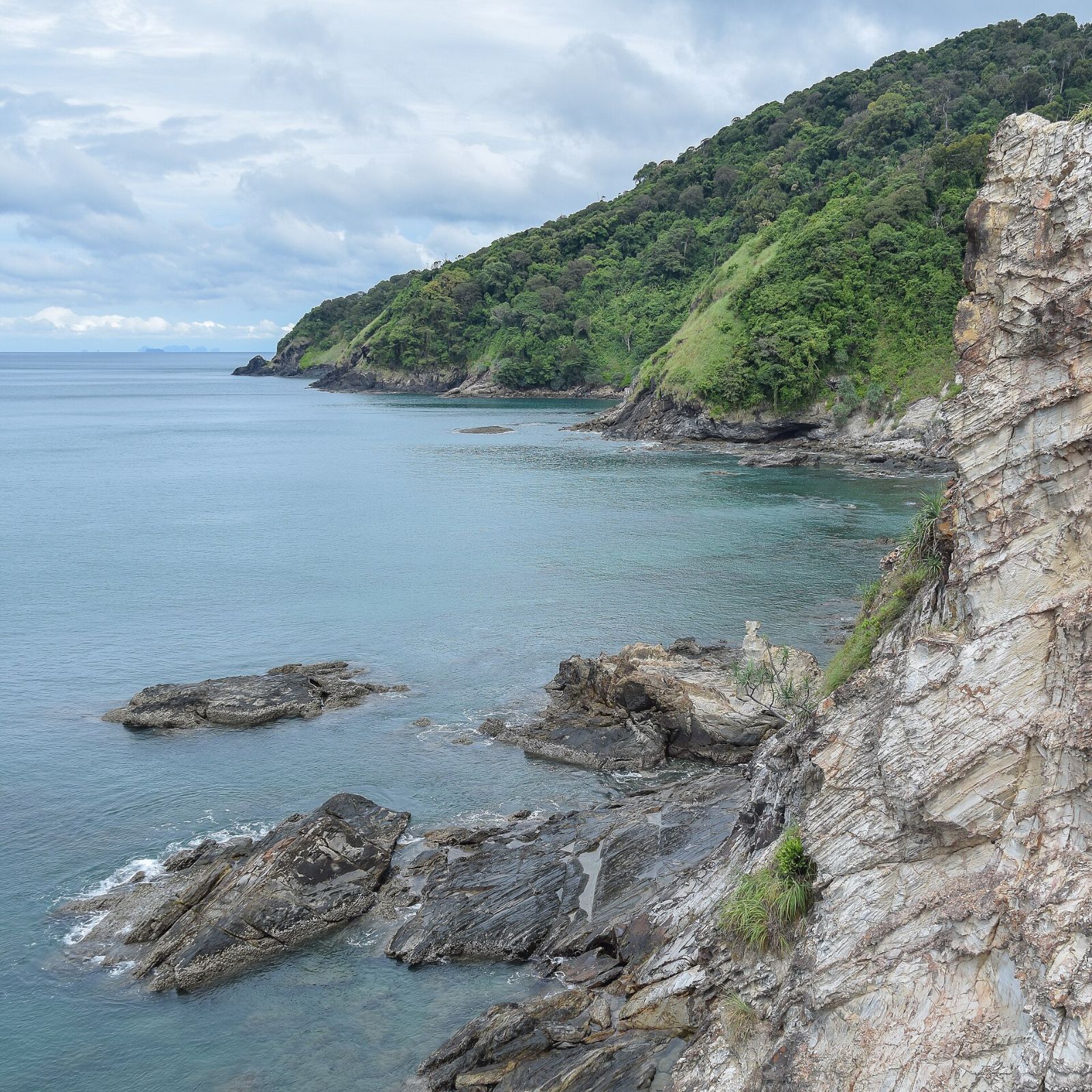
The road becomes hillier and quieter south of Kantiang. At the southern tip, Mu Ko Lanta National Park has a lighthouse, a short nature trail and a small beach. Pay the park entrance fee at the gate, and watch out for monkeys around food.
Using the Koh Lanta map to choose where to stay
- First visit or families — Klong Dao or Long Beach, close to Saladan.
- Nightlife — Long Beach and Klong Khong.
- Couples and quiet — Kantiang Bay or Bamboo Bay.
- Food lovers — Klong Nin and Old Town.
Our where to stay in Koh Lanta guide has hotel picks for every area.
Hotels by beach
Compare Koh Lanta hotels on Agoda and filter by area.
Getting around Koh Lanta
To cover the distances on the Koh Lanta map, most visitors rent a scooter or use tuk-tuks (motorbike taxis with a sidecar). Tuk-tuks gather near Saladan pier and at the main beaches; agree the fare before you go. Only rent a scooter if you are an experienced rider with the correct licence and insurance; roads in the south are steep.
Arriving or leaving? See how to get to Koh Lanta.
Transport to and from Koh Lanta
Compare ferries and minivans on 12Go.
Powered by 12Go
Koh Lanta map: piers and transport points
| Point | Location on the Koh Lanta map | Used for |
|---|---|---|
| Saladan pier | North-east tip of Koh Lanta Yai | Passenger ferries and speedboats (Phi Phi, Krabi, Phuket, islands) |
| Road crossing | Between Koh Lanta Noi and Koh Lanta Yai | Minivans, cars and scooters from the mainland |
| Old Town pier | East coast | Some tours and local boats |
| Krabi Airport | Mainland, about 2–2.5 h by road | Flights to Bangkok and other cities |
When you book a transfer, check whether it ends at Saladan pier or at your hotel; minivans usually drop off at hotels along the west coast, while ferries arrive at Saladan.
Islands near Koh Lanta
Zoom out on the Koh Lanta map and you will see the islands that fill the day-trip menu: Koh Rok and Koh Haa to the south-west, and the Trang islands — Koh Ngai, Koh Muk and Koh Kradan — to the south-east. Phi Phi lies to the north-west, about 1.5 hours away by ferry.
See our guides to Koh Ngai, the Koh Rok snorkelling tour and Koh Lanta to Phi Phi.
Travel times on the island
| From Saladan to… | By scooter or tuk-tuk (approx.) |
|---|---|
| Klong Dao | 5–10 min |
| Long Beach | 10–15 min |
| Klong Nin | 25–30 min |
| Kantiang Bay | 35–45 min |
| Old Town | 30–40 min |
| National park | 45–60 min |
These times are approximate and depend on traffic, weather and road conditions. Tuk-tuk fares rise with distance, so the far south is noticeably more expensive to reach from the north.
Offline Koh Lanta map tips
Mobile coverage is good on most of the west coast but weaker in the south and inside the national park. Download an offline Koh Lanta map on your phone before you arrive, save your hotel as a pin, and note the name of your beach in Thai script to show tuk-tuk drivers.
Navigation tip
Most addresses on the island are written as the beach name plus “Koh Lanta Yai”. Giving the beach name is usually the fastest way to explain where you are going.
Koh Lanta map by interest
Use this list to plan days out by area. Each entry is easy to find on the Koh Lanta map above.
| Interest | Where on the island |
|---|---|
| Sunset bars | Long Beach, Klong Khong |
| Snorkelling from the shore | Kantiang Bay and the rocky ends of the southern bays |
| Mangrove kayaking | East coast, near Old Town |
| Viewpoints | Hill road between the west and east coasts |
| Diving trips | Dive shops in Saladan and along the west coast |
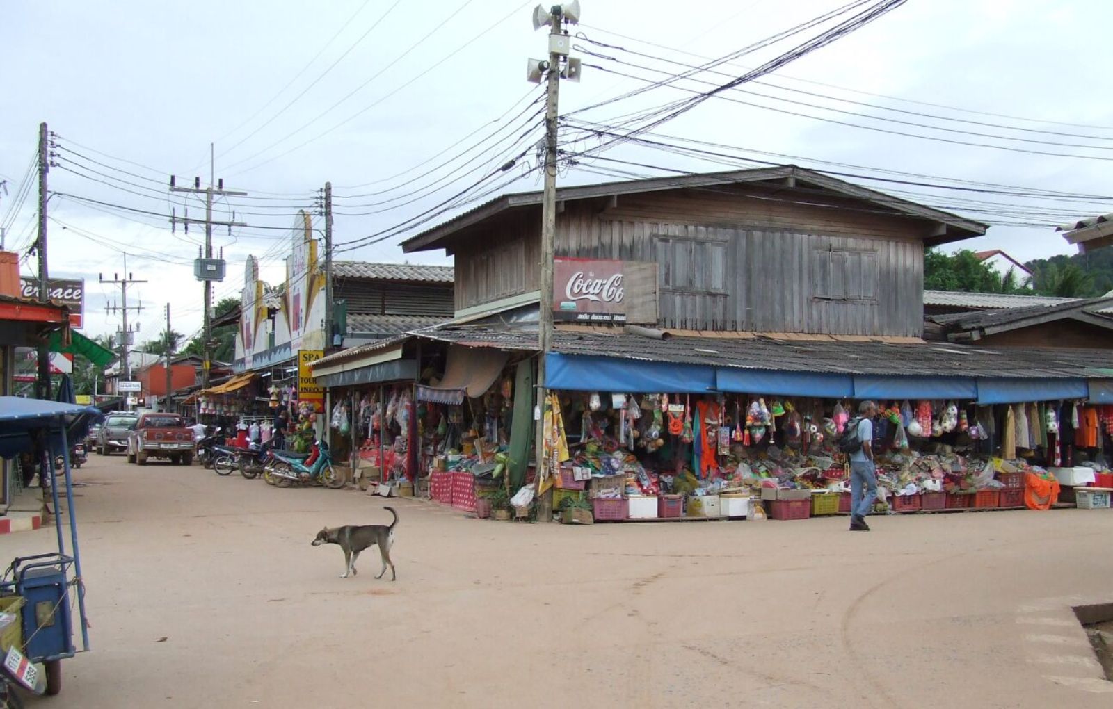
| Local markets | Saladan and the main road villages |
A good first day is to ride from Saladan down the west coast, stopping at each beach, then cross the hills to Old Town for a seafood lunch over the water. Save the national park for a separate morning, when it is cooler and the light at the lighthouse is softer.
If you are still deciding on a beach, compare the Koh Lanta map with our hotel guide: staying in the north keeps transfers short, while the south rewards you with quiet bays and fewer people.
Koh Lanta map: FAQ
How big is Koh Lanta?
Koh Lanta Yai is about 25 km long from north to south and only a few kilometres wide.
Where is the main pier on Koh Lanta?
At Saladan, in the north of Koh Lanta Yai.
Which side of Koh Lanta has the beaches?
The west coast. The east coast has mangroves and Lanta Old Town.
What is the best area to stay on Koh Lanta?
Klong Dao and Long Beach for convenience, Kantiang Bay for a quieter stay.
Is there a road all around Koh Lanta?
A main road runs down the west coast and connects to the east coast and Old Town; the far south is hillier.
Sources: OpenStreetMap; Tourism Authority of Thailand; InsideSamui editorial research. Distances are approximate. Last updated 13 November 2026.
Photos: Stefan Fussan (CC BY-SA 3.0, Wikimedia Commons); Till Niermann (CC BY 3.0, Wikimedia Commons); Vaclav Zrno (CC BY 3.0, Wikimedia Commons); Stefan Fussan (CC BY-SA 3.0, Wikimedia Commons); No machine-readable author provided. Neitram assumed (based (CC BY-SA 3.0, Wikimedia Commons); Stefan Fussan (CC BY-SA 3.0, Wikimedia Commons); Krzysztof Golik (CC BY-SA 4.0, Wikimedia Commons).
Disclosure: InsideSamui may earn a commission when you book through some of the links on this page, at no extra cost to you. Prices and timetables quoted here were checked on 13 November 2026; they change by season and operator, so confirm when you book.