
A Koh Phangan map helps because the island is bigger than it looks: the pier is in the southwest, the party beach is at the southern tip, the quiet bays are in the north and east, and the roads between them are slow. This page explains the layout in words, with travel times that our sources give, so you can read any Koh Phangan map faster.
It draws on Thai Holiday Guide's Koh Phangan overview, its Haad Rin page, Thong Nai Pan page and Home Is Where Your Bag Is, all read on 6 November 2026. Times on the Koh Phangan map are rough, because they depend on traffic and on the vehicle.
- Pier
- Thong Sala, southwest
- Party beach
- Haad Rin, southern tip
- Quiet bays
- North and east coasts
- Sunset coast
- West and northwest
- Thong Sala to Haad Rin
- 30 to 40 minutes by songthaew
- Thong Sala to Thong Nai Pan
- 25 to 40 minutes by road
How is Koh Phangan laid out?
Ferries arrive at Thong Sala on the southwest coast. Haad Rin is at the southern tip, Ban Tai is on the south coast between them, Chaloklum is on the north coast, Thong Nai Pan is on the northeast coast, and Haad Salad, Haad Yao and Mae Haad are on the west and northwest coast.
The Koh Phangan Map in Words
Start at Thong Sala, the pier town in the southwest. From there, one road runs east and south through Ban Tai to Haad Rin at the southern tip. Another runs north towards Chaloklum, passing the turnoffs for Phaeng and Paradise waterfalls. The northeast coast, with Thong Nai Pan and Than Sadet, has its own road across the island. The northwest, with Haad Salad, Haad Yao and Mae Haad, faces the sunset.
Koh Phangan Map Distances and Travel Times
| From | To | Time | Source |
|---|---|---|---|
| Thong Sala | Haad Rin | 30 to 40 minutes by songthaew | Thai Holiday Guide |
| Thong Sala | Thong Nai Pan | 25 to 40 minutes by road | Thai Holiday Guide |
| Thong Sala | Ao Bang Charu beach | About 5 minutes by ride | Thai Holiday Guide |
| Thong Sala | Phaeng Waterfall | About 10 minutes by scooter | Home Is Where Your Bag Is |
| Phaeng | Paradise Waterfall, then Chaloklum | About 5 more minutes to Chaloklum | Home Is Where Your Bag Is |
| Chaloklum | Bottle Beach | About 30 minutes by longtail, or 1.5 hours on foot | Thai Holiday Guide |
| Haad Rin | Haad Yuan | About 10 minutes by longtail, or 2 to 2.5 hours on foot | Home Is Where Your Bag Is |
| Koh Samui | Thong Sala or Haad Rin | 30 to 165 minutes by ferry, 30 to 45 minutes by speedboat | GetYourGuide, Thai Holiday Guide |
Our Thong Sala pier to Haad Rin guide covers the most common ride, and our Koh Samui to Koh Phangan ferry guide has the timetable.
Koh Phangan Map by Area
| Area | Coast | What you find there |
|---|---|---|
| Thong Sala | Southwest | Pier, banks, hospital, supermarkets, night markets |
| Ban Tai | South | Beachfront resorts, Half Moon venues, Wat Khao Tham |
| Haad Rin | Southern tip | Full Moon Party, Sunrise and Sunset beaches |
| Chaloklum | North | Boats to Bottle Beach, Sunday walking street |
| Thong Nai Pan | Northeast | Two calm bays, upmarket resorts, Than Sadet nearby |
| Haad Salad and Haad Yao | Northwest | Sunset beaches, couples and families |
| Mae Haad and Koh Ma | Northwest | Island beach, Wang Sai waterfall |
Use this Koh Phangan map by area with our Koh Phangan travel guide for the full overview, our Thong Sala guide and Haad Rin Beach guide for the busiest areas, and our where to stay in Koh Phangan guide for the best base.
Getting Around the Koh Phangan Map
Most of the Koh Phangan map is reachable by road. Places of Juma says scooters can be rented at almost every corner, which is the usual way to reach the beaches, and Thai Holiday Guide says the road to Thong Nai Pan is fully paved. Some routes need a boat or a hike instead: Bottle Beach and Haad Yuan are reached by longtail boat or on foot, and Home Is Where Your Bag Is describes the Haad Yuan road as hazardous, so avoid scooters there. A songthaew from Thong Sala to Thong Nai Pan costs 200 to 300 baht per person.
Seeing the Koh Phangan Map on a Tour
A road tour is the easiest way to cover several corners of the Koh Phangan map without arranging rides.
Koh Phangan Shared Road Trip by Mingalaba road trip
A shared road trip around the island, described by the operator as visiting beaches, a natural swimming pool and a snorkelling stop. It is rated 4.7 out of 5 from 304 reviews and priced from $58 per person when we checked on 6 November 2026.
Check on the listing before you book
- The stop list and the pickup area
- What to bring for the swimming stops
- The cut-off: it must be booked at least 10 hours ahead
Powered by GetYourGuide. Price, duration and availability depend on your date.
Open the live map
For a live Koh Phangan map with turn-by-turn directions, open Koh Phangan in Google Maps and save your hotel and pier.
Koh Phangan Map FAQ
Where is Thong Sala on the Koh Phangan map?
In the southwest of the island. It is the main pier town, and most ferries arrive there.
How far is Haad Rin on the Koh Phangan map?
Thai Holiday Guide gives 30 to 40 minutes by songthaew from Thong Sala pier.
Where are the quiet beaches on the Koh Phangan map?
In the north and east, including Thong Nai Pan, Bottle Beach and Haad Yuan.
Where are the sunsets on the Koh Phangan map?
On the west and northwest coast, where Haad Salad faces west, per Thai Holiday Guide.
Is Koh Phangan easy to get around?
Roads to Thong Nai Pan are paved and scooters are widely rented, but some beaches need a boat or a hike. A tour or taxi avoids arranging rides.
Is there a printable Koh Phangan map?
Open the island in Google Maps and save your pier, hotel and beaches. This page gives the travel times to read it by.
Want to see the island in one day?
Check the stop list, pickup area and recent reviews of the shared road trip.
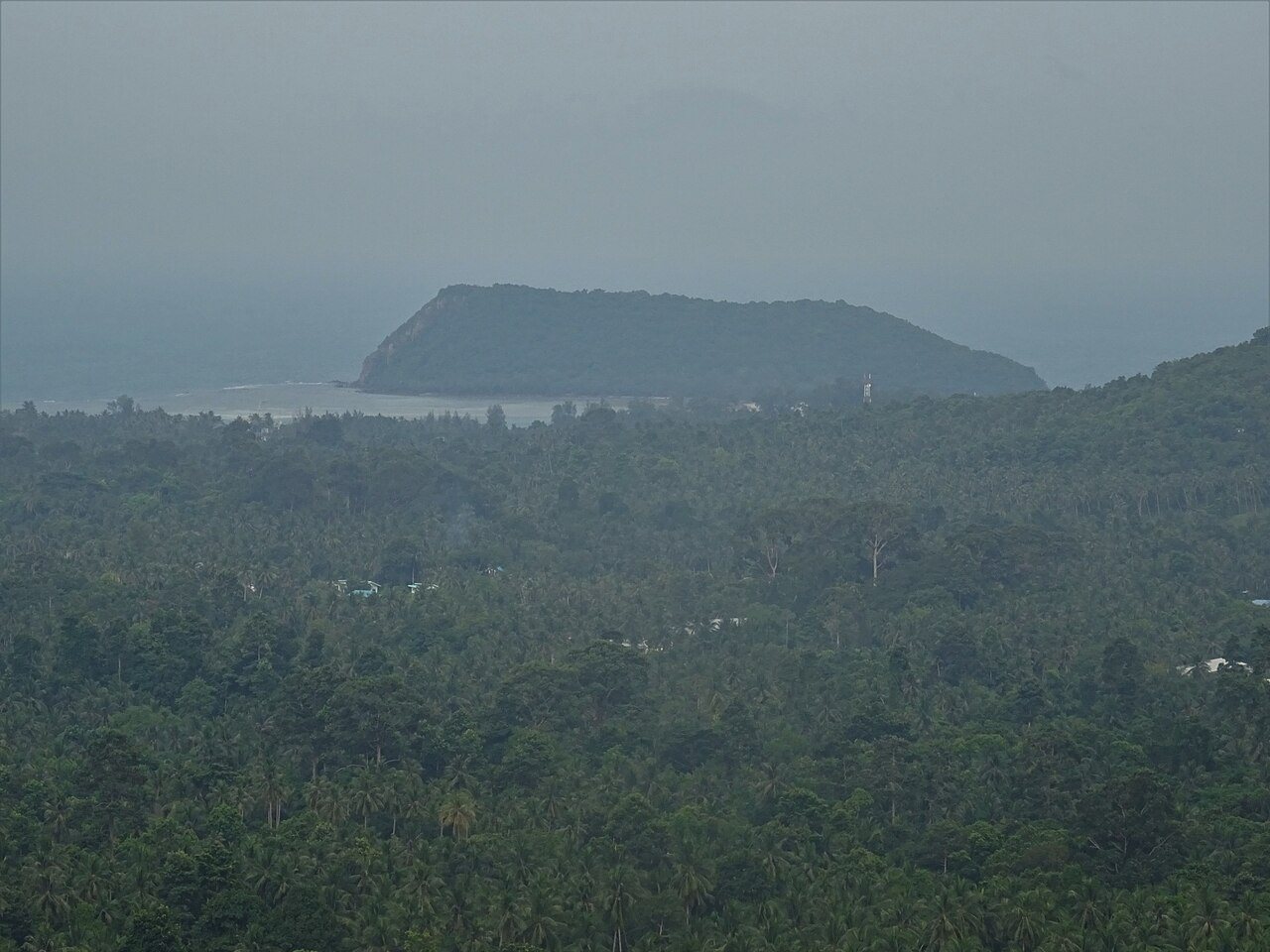
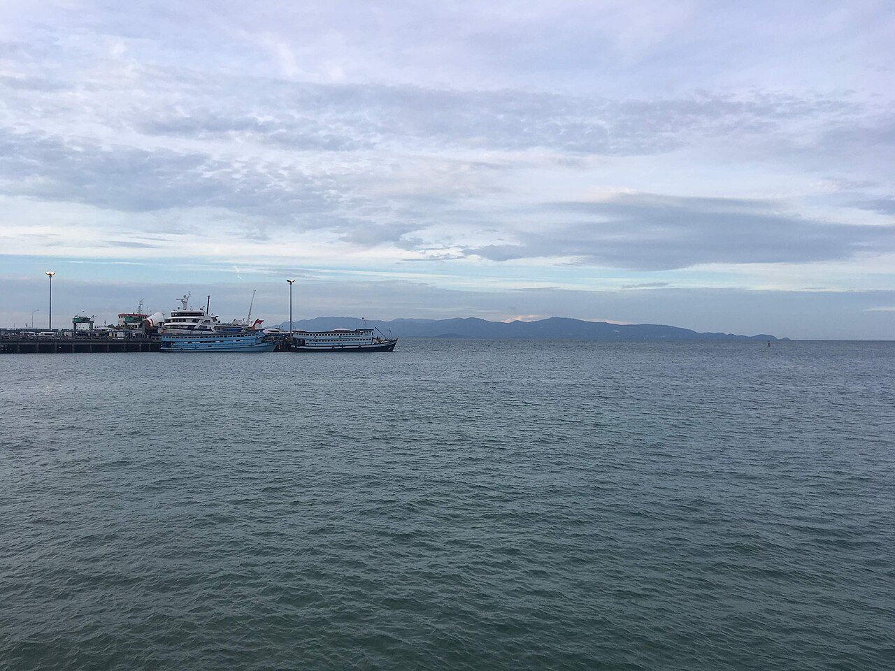
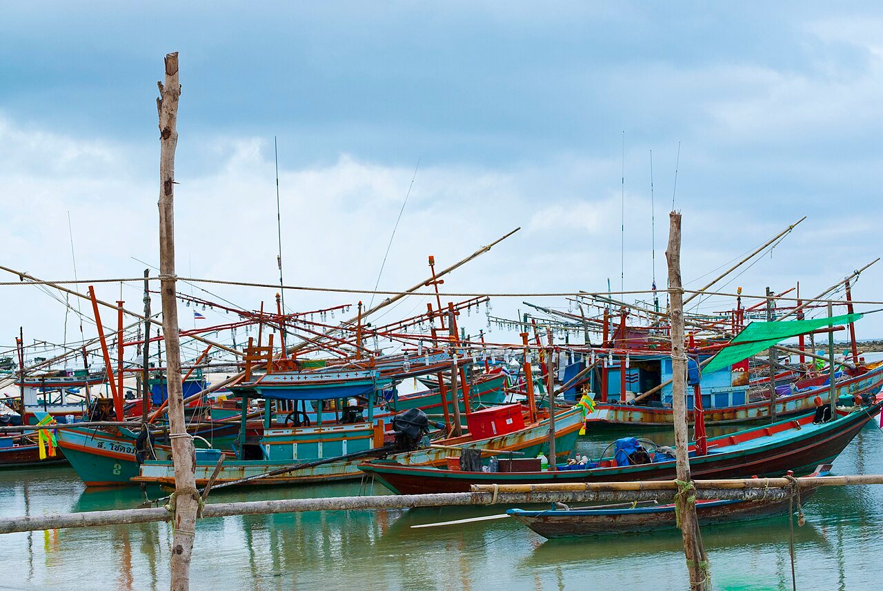
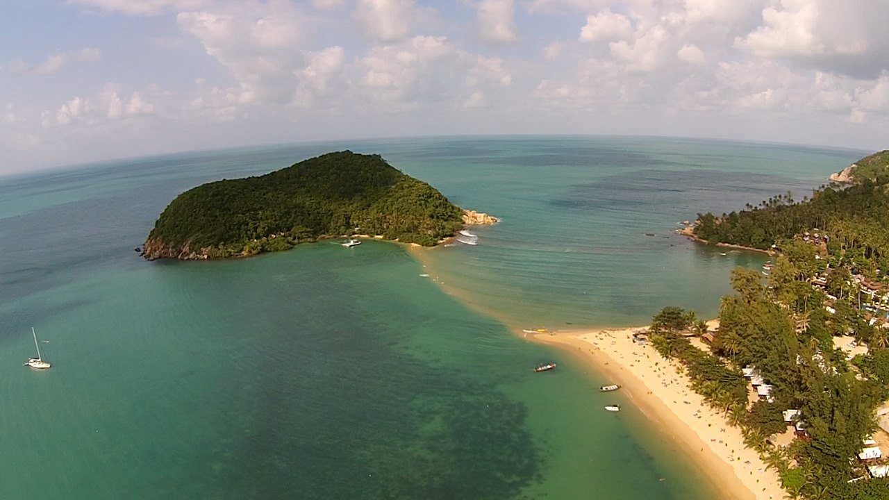
Photo credits: Ko Tae Nai from a viewpoint near Phaeng Waterfall by Christophe95 (CC BY-SA 4.0, Wikimedia Commons); Thong Sala Pier by Christophe95 (CC BY-SA 4.0, Wikimedia Commons); Chaloklum beach by Davide Dioporto (CC BY-SA 3.0, Wikimedia Commons); Koh Ma at high tide by Mmarkin (CC BY-SA 4.0, Wikimedia Commons). Tour photos: GetYourGuide.
Disclosure: InsideSamui may earn a commission when you book through some of the links on this page, at no extra cost to you. Hotel links lead to Agoda, ferry links to 12Go Asia and tour links to GetYourGuide. This guide is compiled from published information from operators, parks and travelers, checked on 6 November 2026. We have not run these trips ourselves for this page. Prices, schedules, fees and rules around Koh Phangan change often, so confirm them with the provider before you travel. Tour bookings are handled by GetYourGuide, hotel searches by Agoda and ferry searches by 12Go Asia.